March 27, 2025
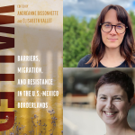
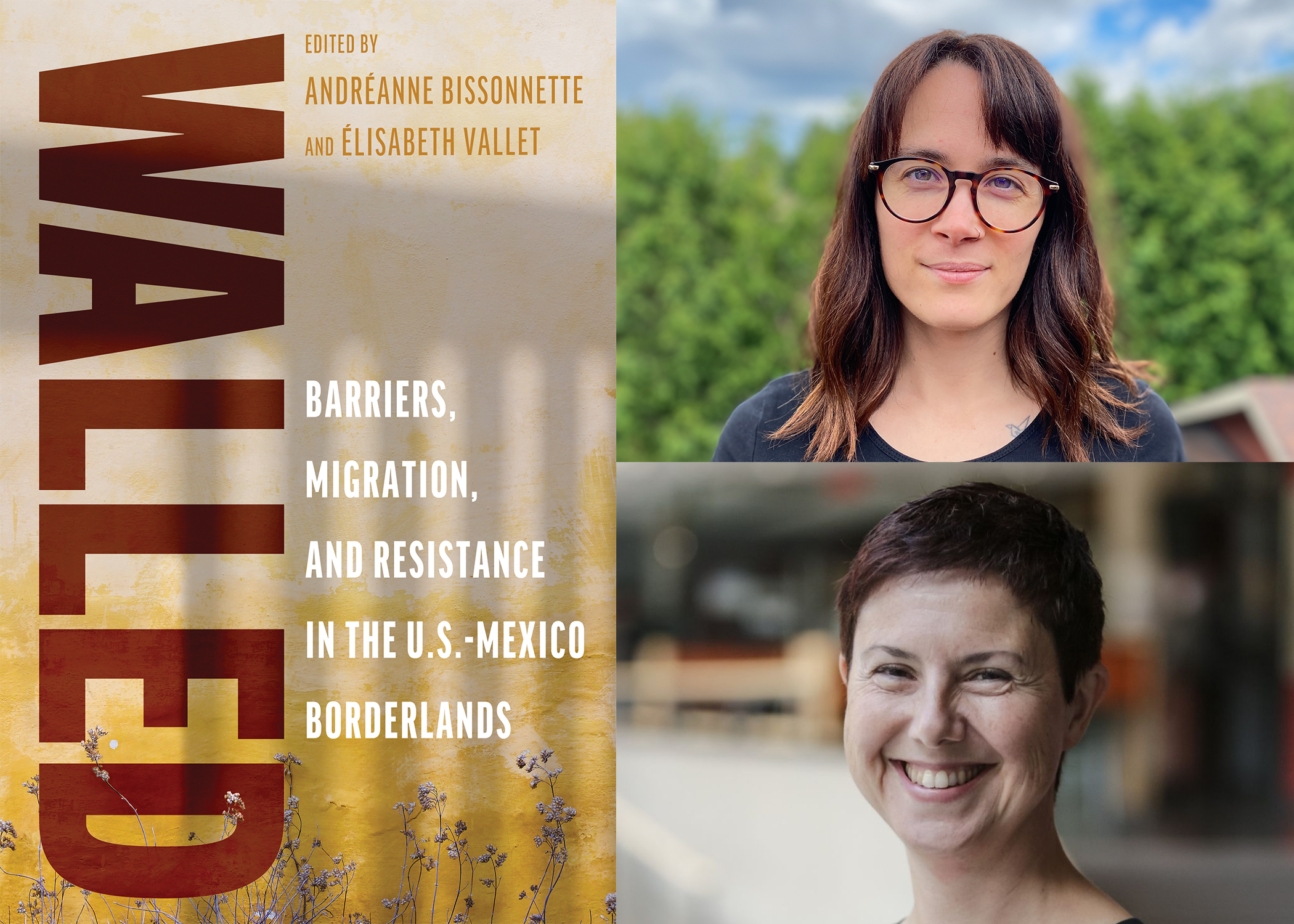
Bringing together recognized scholars in border studies, Walled: Barriers, Migration, and Resistance in the U.S.-Mexico Borderlands delves into the varied manifestations and lived experiences associated with U.S.-Mexico border walls. The Introduction by Andréanne Bissonnette and Élisabeth Vallet offers a thorough review of the border walls’ thirty-year history, placing it within a global context. Contributions offer diverse perspectives of the border experience, from state policies and migrant experiences to the daily lives of border residents. Topics such as militarization, migration, artistic resistance, and humanitarian aid are carefully examined. This volume is an essential resource for policymakers, activists, scholars, and anyone seeking to understand the intricate realities of border communities and the far-reaching consequences of border policies. Read an excerpt from the book’s Introduction below.
In 1993, then-U.S. president Bill Clinton oversaw the construction of the first stretch of the U.S.-Mexico border walls. Since then, every U.S. president has allowed for the construction of additional miles of walls or fences. Most recently, despite promising to halt Donald J. Trump’s plans for the southern border, in July 2022 President Joe Biden authorized the construction of a wall in four places in Arizona. From San Diego-Tijuana to Brownsville- Matamoros, swathes of border walls lacerate the U.S.-Mexico borderlands. However, through the years, the nature of fencing has evolved. On the one hand, physical constructions have changed from low-rise fences to thirty-foot-high-steel walls; on the other, border walls have also morphed into a sophisticated, sprawling administrative, legal, legislative, and biometric apparatus. Far from merely marking the international line, they have permeated many aspects of daily life in the borderlands and beyond.
To understand the current state of the U.S.-Mexico border and the walls that shape it, we need to delve into this space’s various historical phases.
The Establishment of the U.S.- Mexico Border as We Know It
Understanding the current state of the U.S.-Mexico border—and its walls—requires stepping back to grasp how the border came to be, as the history of the border still lingers today, impacting the territory, social relations in the region, and the way the region is constructed and perceived (Ganster and Lorey 2008; Grandin 2019). In 1848, the ratification of the Guadalupe Hidalgo Treaty marked the end of the U.S.- Mexico war, which originated in dissonant visions of the two countries’ territorial expansion aims (St. John 2012). Following the victory of U.S. troops, the treaty conferred parts of Mexico to the United States. On its eastern part, the Rio Grande/Rio Bravo delineates the boundary between the two nation- states, effectively dividing communities that previously belonged to the same country. On its western front, in the absence of a continuous natural marker, the border has been created “by simply drawing straight lines between a few geographically important points on a map—El Paso, the Gila River, the junction of the Colorado and Gila rivers, and San Diego Bay” (St. John 2012, 2). Five years later, a renegotiation of the treaty ceded southern Arizona and southwest New Mexico to the United States, establishing the borderline as we know it now.
While initially considered a rough and remote zone of the United States that elicited little economic or political focus from Washington, the region—and more specifically the border—attracted people as west-ward expansion and capitalist activity increased. The meanings of the border as an interface between two sovereignties, a place of economic activity and growth, and a filter for individual movements gradually cemented themselves: they still influence the perception, discussion, and policing of the border.
The Wall, an Idea Across Decades
Tightening surveillance and border controls have accompanied economic activity and population growth in the border region. The 1910 Mexican Revolution and the deterioration of relations between Mexico City and Washington added to the U.S. government’s insecurities, which translated into a need for increased border security. This was reflected in particular by a surge in controls on cross-border mobility and the erection of the first sections of fences between the two states (St. John 2012). These first manifestations of a physical divide between the two countries stemmed from ranchers’ push to prevent cattle movements across the border and from border towns’ initiatives to channel individuals toward official points of entry. Initially, as St. John highlights, these fences were not aimed at demarcating a division or preventing crossings. However, in 1929, the fence that had been erected in Ambos Nogales in response to the instability stemming from the Mexican Revolution was reinstated in the form of a six-foot-high chain-link fence with electric lights at the two border gates (Arreola 2004). Thus, since 1920, the southern border has been perceived and defined as a place of immigration control, with the first screenings of Mexican nationals occurring in 1930 (St. John 2012) and fences to reinforce crossing points appearing during the 1940s (St. John 2018). By the end of the 1970s, Congress had approved funding to replace some of the existing rusted urban fences and add six miles to them (Grandin 2019), a policy that sparked strong opposition from Mexican-American civil rights groups over the initial intention to deploy razor wire on this new wall: this “tortilla curtain” episode resulted in the construction of a chain-link fence, without the razor wire (Townley 2016).
Andréanne Bissonnette is a postdoctoral researcher at the Border Policy Research Institute at Western Washington University and holds a PhD in political science. Her research, anchored in an intersectional analysis, focuses on Latinas’ experiences and perceptions of reproductive health services in the United States. Élisabeth Vallet is an associate professor at RMCC–Saint Jean, director of the Center for Geopolitical Studies (Raoul-Dandurand Chair, University of Quebec at Montreal—UQAM), affiliate professor at the UQAM Department of Geography. She is one of the co-researchers for the Borders in the 21th Century Program at the University of Victoria.