May 15, 2025
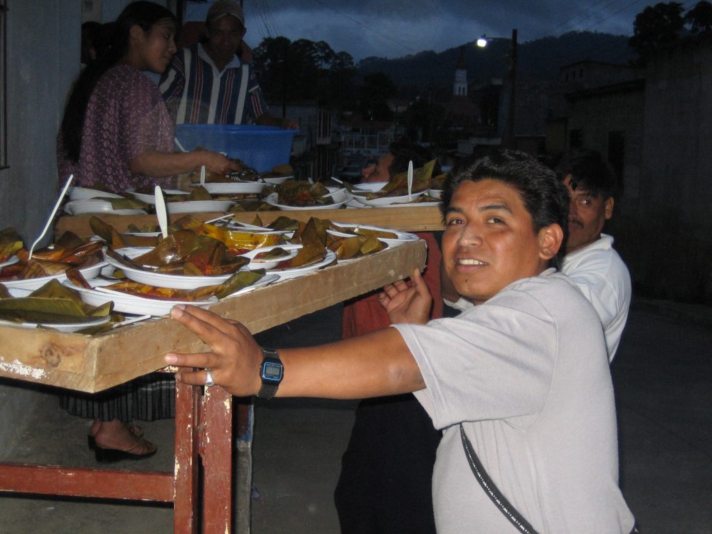
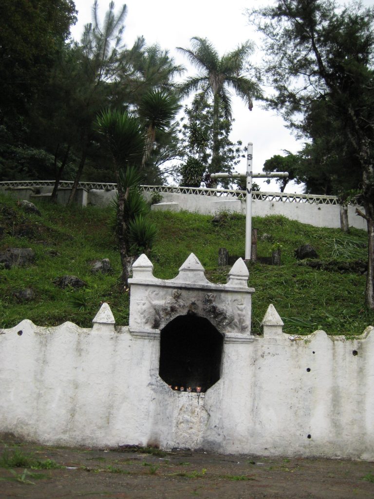
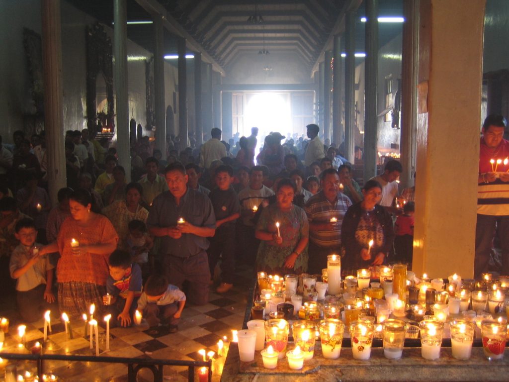
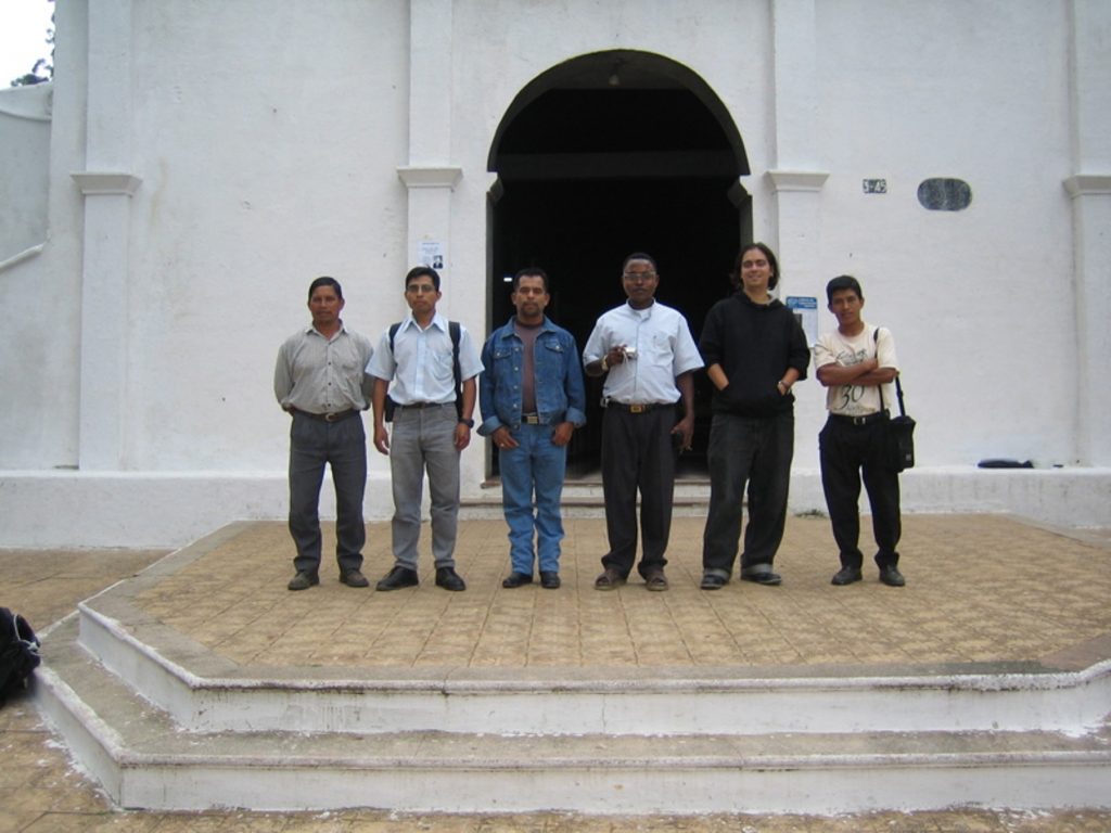
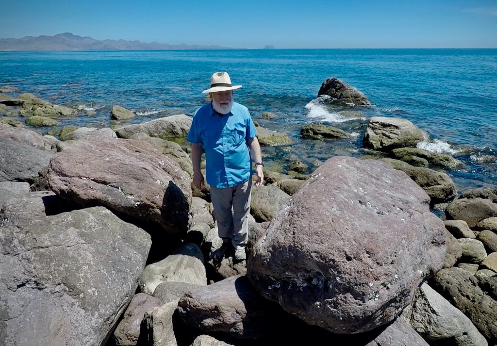
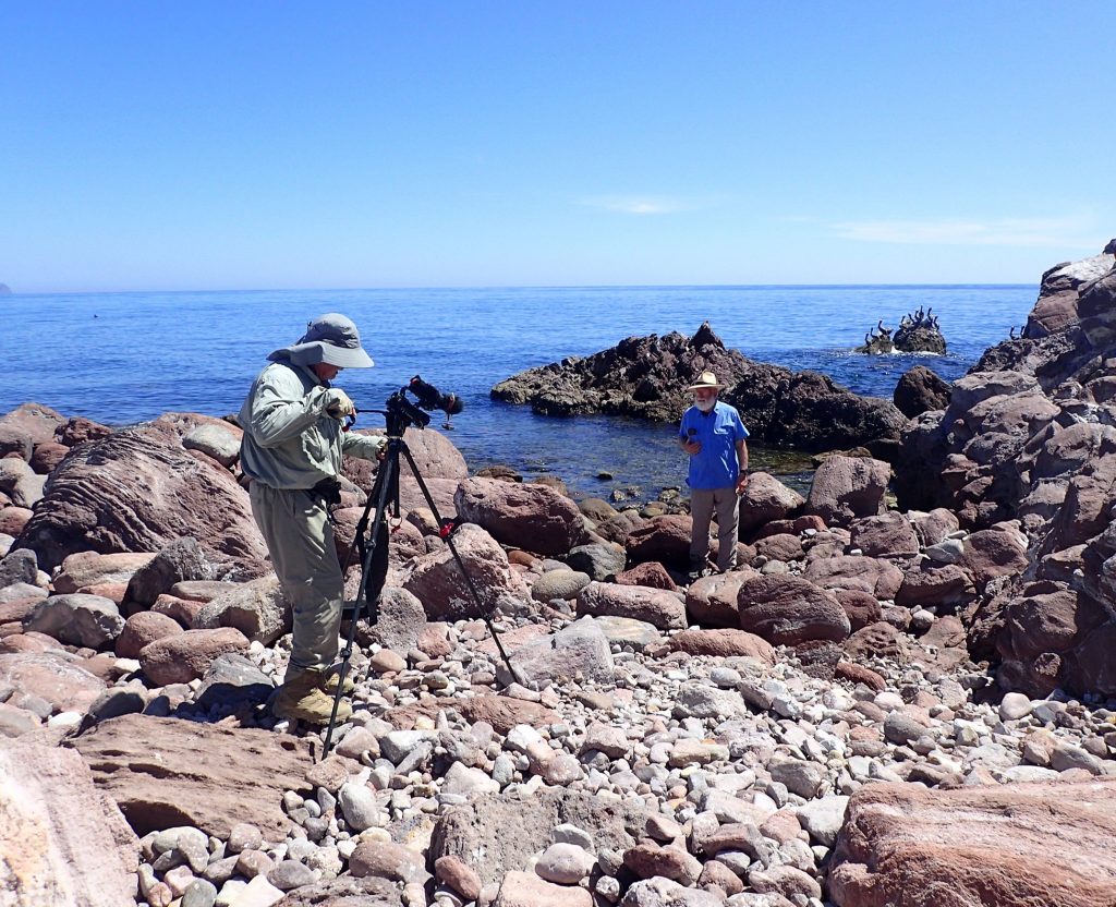
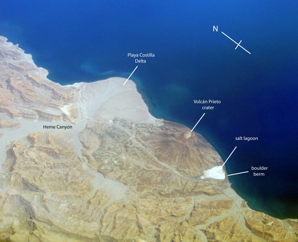
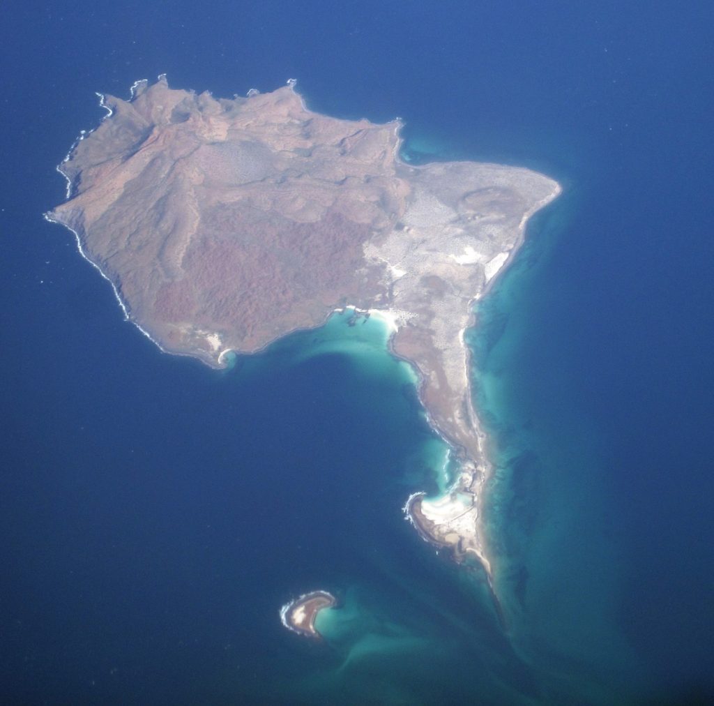
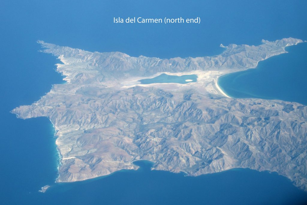
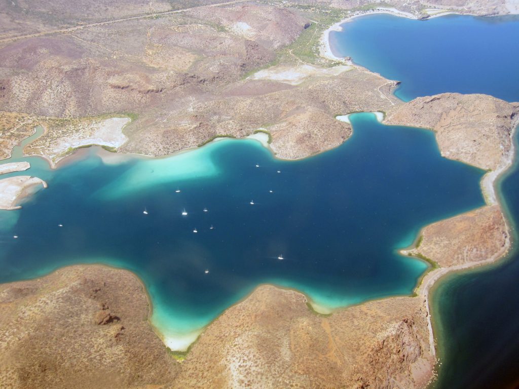
In Loreto, Baja California Sur, Mexico, artisanal fishing families and staff of Loreto Bay National Park face an array of choices as tourism, environmental concerns, and economic precarity challenge livelihoods and natural resource availability. In Net Values, Nicole D. Peterson offers a critical examination of how the idea of “choice” is understood, and what it means for policies, planning, and programs to ignore the social, political, economic, and cultural contexts surrounding these choices.
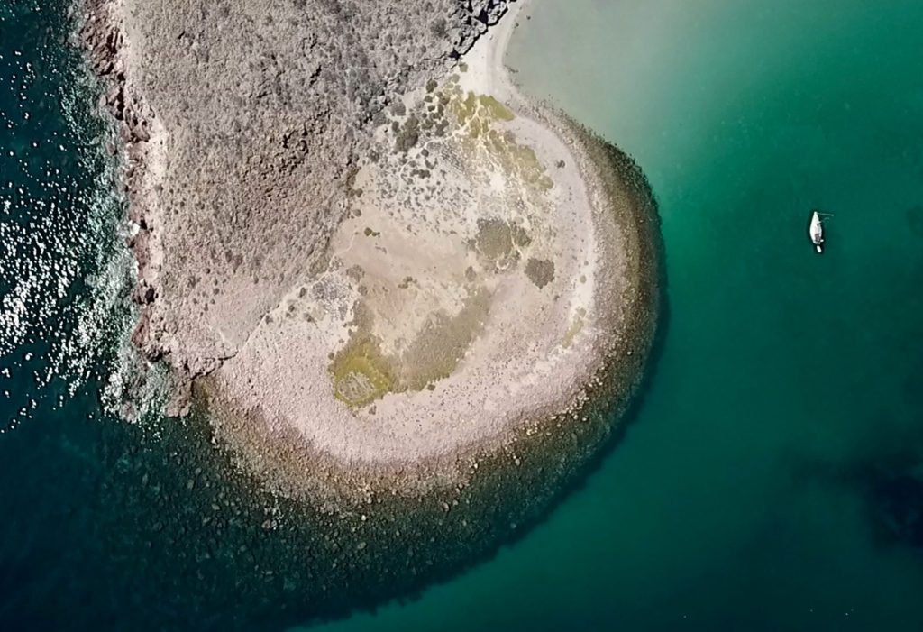
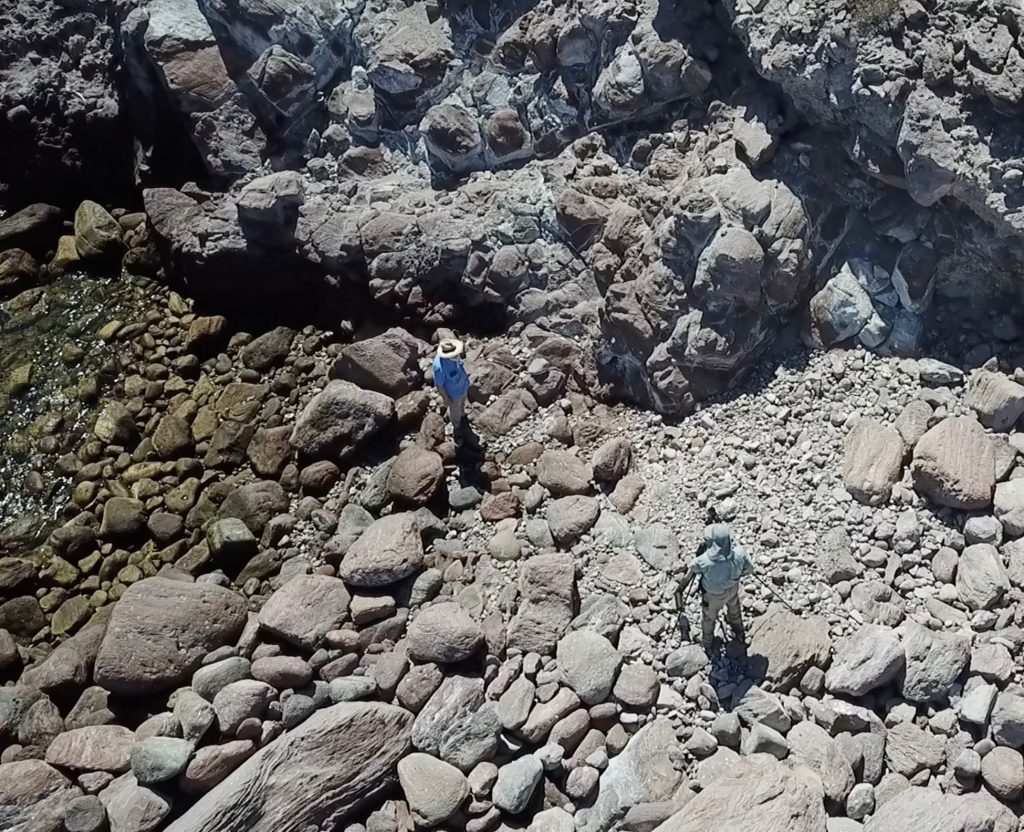
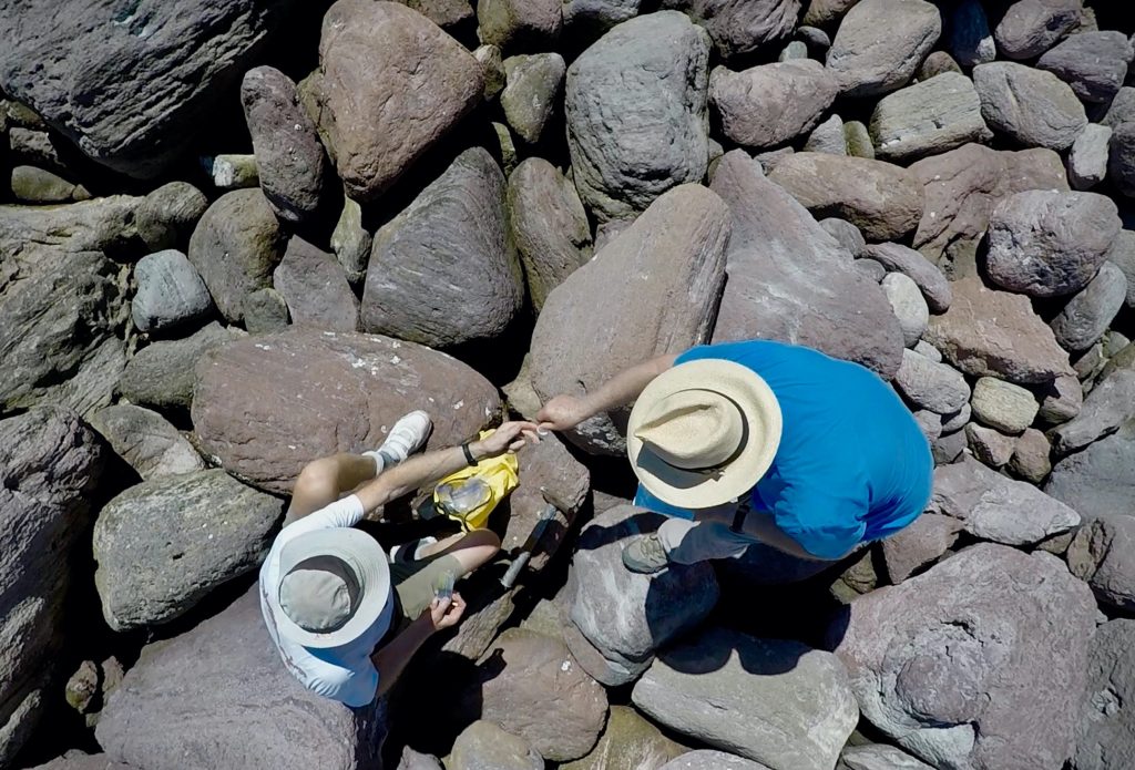
Today, the author shares photos from her time in Loreto and tells the story of how she was inspired to write Net Values.
By Nicole D. Peterson
In 2022, still reeling from the pandemic and on a brief leave, I took time to reconnect with a friend and colleague, Poonam, with whom I had worked on a couple of projects on decision-making in New York and Argentina. In a conversation over chai, after sensing our shared frustration with the decision-making literature’s lack of attention to the context in which decisions get made, I told Poonam that she needed to write a book about decision-making theory that highlighted how individuals used their cultural, social and material contexts to make decisions. “You’re more ready to do that than me,” she countered. After some back and forth about who could or should write the book, she pointed out that my unfinished “Baja fishing book” actually already engaged with many of those ideas we were discussing in an ethnographically grounded way. I sat down that night and sketched out an approach to examine marine resource use in terms of decision-making in context, building on ideas in my dissertation with deeper understandings of the Loreto area that had come from my periodic trips back and more sophisticated ideas about decision-making from research with Poonam and others. I still had a long way to go to finish a full draft, much less my final edits, but I finally understood how this book could matter to anthropologists as well as people interested in conservation and decision-making.

I have spent my career interested in decision-making processes. While others focus on post-hoc rationalizations of why people choose what they do, I’m fascinated by how decisions can emerge from situations, like in improvisational comedy or other creative endeavors. As I observed people decide what to do in both laboratory and field settings, it seemed important to capture how they often relied on past actions (which became habits), applied recent strategies (heuristics), or “grabbed” what was at hand (affordances). For example, when women in the communities I worked with near Loreto, Baja California Sur, Mexico wanted to create a business, they depended on familiar domestic activities like cooking or cleaning, the support of family and friends, and available funding from the marine protected area to build restaurants, bakeries, and other enterprises.


That key insight is at the heart of Net Values. In the book, I explore how the values around family, community, and environment shape fishing, tourism, and environmental conservation efforts in a context where resources and opportunities to make a living are scarce. People’s activities in any given day, week, and year are influenced by weather, markets, and a variety of their own and others’ interests, as people navigate the best ways to make a living and give their children the options they didn’t really have. Conservationists wrestle with uncertainties around tourism and species, and try to understand how to minimize pressures on the ecosystems, given local needs and commitments as well.


Net Values is an ethnography about how decisions emerge from the social and cultural contexts in which they are made, and its main goal is to counter the notion that people’s decisions are primarily influenced by rational economics. Yes, money continues to matter, but it doesn’t fully shape life in the Loreto fishing communities, even though economic values continue to dominate conversations and planning around relationships with the water, land, species, and each other. This tension and interplay between economic and non-economic values is critical to understanding why not much has changed around environmental management in 20 years.
How can we reenvision decision-making as a deeply contextual process? What does it mean to leave the sterilized laboratory space for the messy world of fisheries? How can this lead to new approaches and a more holistic approach to environmental management, recognizing the impossibility of disentangling environment from human?


This book emerged from a conversation with a colleague and friend over chai. As in Loreto fishing communities, the decisions that led to it emerged from values (getting decision-making theory right), opportunities (all of the data I had from Loreto), and context (chai and conversation). I’m adding this book to the conversation around marine resources in the hope that it will shape discussions about why fishermen and conservationists both fish, why they both want a different future, and how efforts that neglect these values and the broader context of markets and politics have led to a stalemate where change seems impossible. As I watch people play politics with human and non-human well-being in the U.S. and elsewhere, I think it is critical now to explore how else we could organize our lives and the world through different sets of values, which most of us already share, beyond those offered by current approaches to economics. This is where I find my hope for a better future.


***
Nicole D. Peterson is a professor of anthropology at the University of North Carolina at Charlotte and an applied, environmental, and economic anthropologist. Peterson engages with communities dealing with changes and inequities around food, health, and the environment, with a focus on decision-making. Peterson has studied national resource management and economic development in Mexico, decision-making under uncertainty and climate change adaptation in Ethiopia, and Charlotte-area food security, including the State of the Plate food system assessment effort.